Our River
The roughly 4-mile study area, which spans from xxx on the north to xxx at the southern end, can be further defined as three reaches - the Northern, Central, and Southern. Since the 2011 One River, Two Cities Master Plan, these reaches have been used to define general areas, refined study limits, and areas of focus. The summary of the Wabash River’s environmental, historical, and community character, which references these ‘reach’ areas, has been taken from the 2011 Two Cities, One River master plan document.
Hydrology
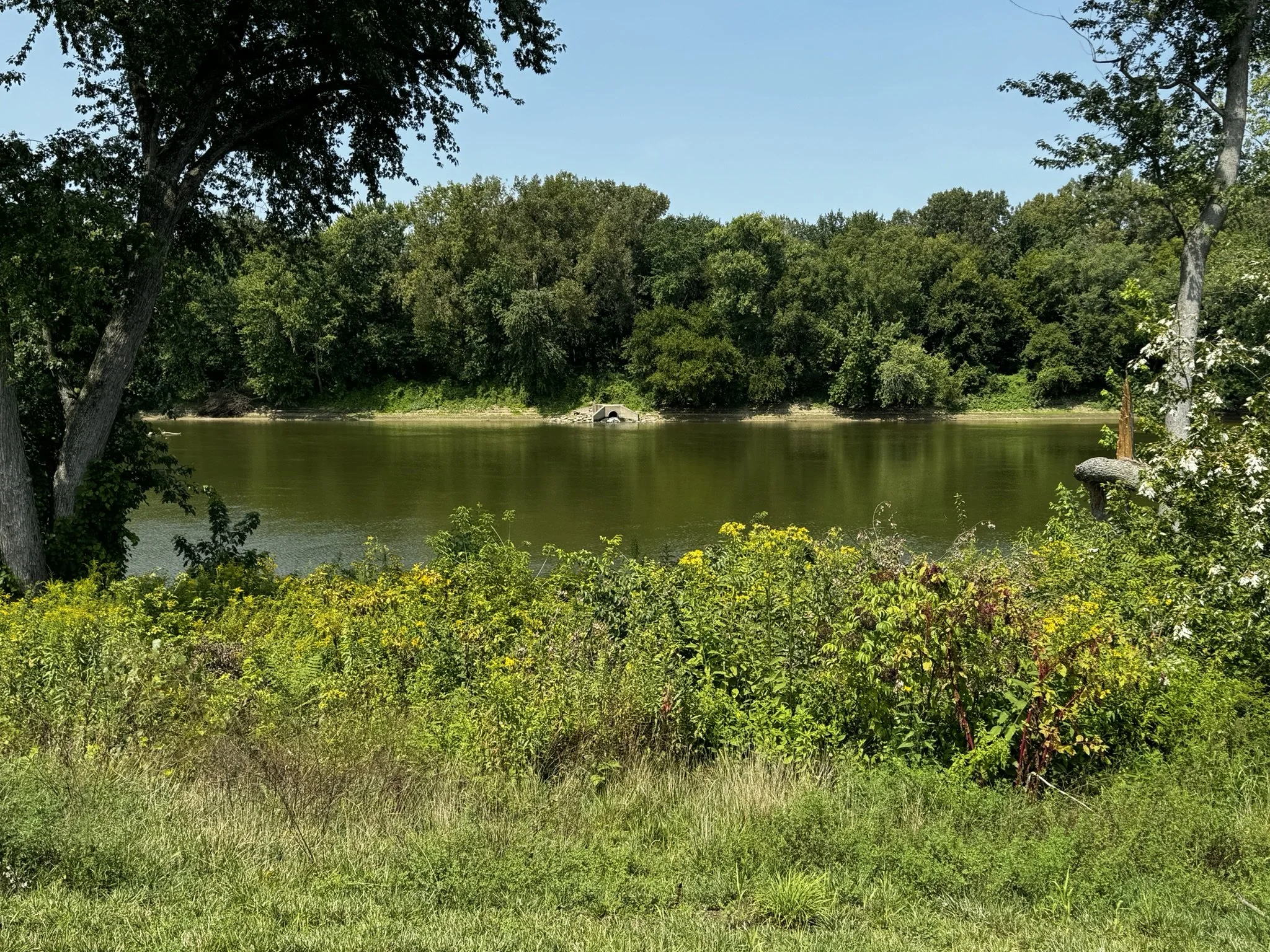
The Wabash River’s current hydrological patterns make adjacent land optimal for connected public space but tricky for development within Lafayette and West Lafayette. The depth and volume of flow in the river are highly variable and change according to the season and rainfall intensity.
Drier summer conditions frequently leave sand bars exposed along some of the banks. However, flooding can be extreme, especially in the spring when the river can rise as much as nine feet or more in any given year. A large portion of the project area is within the 100-year floodplain, and additional land is within the 500-year floodplain.
Because of this, and the significant impacts of flooding in the area, it is necessary to assess the risk of any investments against the likelihood of flooding.
Ecology
This river reach is surrounded by habitat cores but does not itself contain any natural areas large enough or undisturbed enough to support the full breadth of local ecology. Today, several river-adjacent, residential developments press right up to a steeply eroding shoreline, and the floodplain is often occupied by agricultural land and soils laden with industrial contaminants. The riverfront between cities presents the opportunity to bridge the divide between fragmented habitat cores by providing uninterrupted tree canopy or vegetated wetlands along the river’s edge. Preserving and replenishing this habitat corridor allows for more gradual river embankments reinforced by tree root networks that stabilize the soil and prevent erosion and river sedimentation.
Culture
The role of the region in American history has been significant and diverse. The Feast of the Hunters’ Moon, a significant, local, annual living history event held at Fort Ouiatenon Park (historically, a site of these gatherings in the 1700’s) celebrates the annual fall gatherings typical to the mid 1700’s French/European/Native American fur trading economy of the region. Tippecanoe Battlefield and Prophetstown State Park mark the site where western forces overtook a nascent confederacy of Native Americans and its capital, Prophet’s Town. There are also many homes and sites of historic and architectural significance, contributing to a rich and layered historic context.
Places of cultural and horticultural interest in the greater Lafayette region include Jerry E. Clegg Botanic Garden, the Horticulture Gardens at Purdue University, Wolf Park, and Columbian Park and Zoo. There is not yet a fully interconnected and comprehensive parks and trails system along Wabash, but existing parks offer places for fishing, occasional boating, golfing, picnicking, skating, cross country skiing, performance spaces, trails, dog run, and playgrounds. Rowing became a part of the recreational mix when Purdue Crew opened its rowing facility in 2010.
Transportation
The area is connected to the national rail system via Amtrak’s Cardinal and Hoosier State routes. The Cardinal route connects Chicago to New York City, running through Indiana, Ohio, Kentucky, West Virginia, and Virginia, then up the East Coast to New York. The region is also well served by the CityBus system, whose investments in the area are expanding. In addition, the trail system continues to improve, and bicycle use is relatively high, partially due to the high percentage of students.
Currently, the John T. Myers Pedestrian Bridge is the only dedicated pedestrian bridge over the Wabash in the study area, though pedestrians may cross the river on sidewalks using the Harrison and State Road 26 Bridges and on the shoulder of the US 231 Bridge or the US 52 Bridge. On the Lafayette side or the east end of the bridge, although an elevator is available, there is no accessible ramp to the Myers Bridge, which reduces convenience and consequently may limit the bridge’s use by pedestrians and bicyclists.
There are insufficient on-road and off-road trails for bicyclists in the study area, but there are great opportunities for extending riverfront trails on both sides of the river.
Recreation
The Wabash is not currently at the center of community life. It is not even visible from many places along the corridor. The edges of the river are frayed, in terms of development patterns, recreation access, and ecological function. However, the Wabash is a key feature at Tapawingo Park, the Myers Bridge, and the River Promenade. It is there that one can get a glimpse of the river and its potential.
Most existing parkland in the study area is in the Northern Reach. Happy Hollow Park in West Lafayette is heavily used and in need of significant restoration. Lafayette Municipal Golf Course has an active youth program, but its grounds require significant maintenance.
Significant parkland/civic space in the Central and Southern Reaches, respectively, includes Riehle Plaza, and Shamrock Park in Lafayette’s Wabash Avenue neighborhood.
These spaces have prime locations and draw people to the river. With enhancements, these parks could have even greater amenities. In addition to opportunities for enhancement of existing parks, there are opportunities for development of new large parks.
The One Wabash River is intended to represent all of us and will be OUR tool to build a better future together.
The enhancement plan is intended to represent all of us and will be OUR tool to build a better future together.